The Heritage Articles - Evolution of Parleys Roads


Early routes through the parish were no more than tracks that changed between summer and winter or as they became unusable. As the number of users increased and more formal land ownership restricted land use, tracks became formal roads.
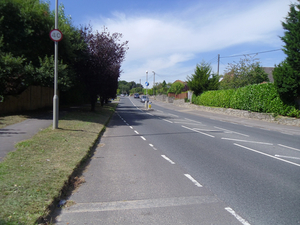
From the earliest times the main road in West Parley was the west /east route on the boundary between poor heath and fertile land on the north side of the Stour which is now Christchurch Road. This ancient trackway had only two side roads, Church Lane (previously known as Parley Street) leading to the farms close to the C12 Church and the Rectory that were the old centre of West Parley and the road leading to the ancient Wood Town Farm.
There were some short tracks to access fields close to the main road at what is now Gallows Drive, Chine Walk, Barrack Road and Dudsbury Road. These all formed the start of later, longer, roads. There was an unusually long track called Dudsbury Lane (now Ridgeway) from Christchurch Road almost to the Stour, possibly to an ancient river crossing.
Maps from the 18th century to 1900s show this same pattern of roads and tracks as almost all houses were on the main road or close to the church. This pattern changed dramatically when the first Ensbury Bridge was built in 1910.The road was initially called Bournemouth Road and changed to New Road after WW2. This created the new Parley Cross; the previous crossroad was named in a map of 1860 as the junction of Parley Street and Christchurch Road at Stocks Farm.
Though this linked the expanding Ferndown with Bournemouth this did not result immediately in many changes in West Parley. Some properties were built along Christchurch Road and Brierley Road and the middle and northern end of Dudsbury Road linked to other new properties on New Road northwards but even in the early 1930s the land between Parley Wood and Poor Common was mainly heath and open fields.
Planning for the first big development came in 1939 with the auction of plots of land on what was known as the Pine Hills Estate that laid out most of the roads and housing from Oakland Walk across Chine Walk through to Dudsbury Road and the east end of Glenmoor Road.
Later roads such as Mags Barrow, Winnards Close, Linden Road, Gallows Drive, Parley Close and New Rd south of Parley Cross followed in the late1950s/early 1960s.
The final large development of the road network came from building over most of Poor Common on the west of the village to include around Ellesfield Drive and Fitzpain Road to Glenmoor Road linking West Parley with Ferndown.
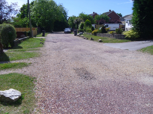
Almost all roads are adopted and maintained by the District or the County Council but Brierley Road, Ridgeway and Barrack Rd are still maintained by Residents.